Expert crop data analysis and drone processing solutions. Pro-Agri turns raw drone flight data into outputs a farm manager, surveyor or mine planner can act on — it's the "Processing" in our name.
Send us the flight data — or have us fly it — and get back processed, readable deliverables. No prices online; every job is scoped to the operation.
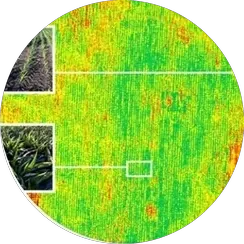
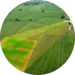
Multispectral data processed into crop health, vigour and stress maps that show exactly where to look and where to spray.
Survey-grade stitched aerial maps of fields, sites and estates — a true, measurable picture of the ground as it is now.
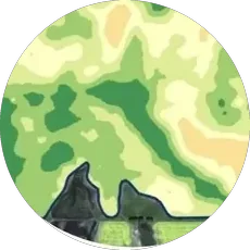
Digital elevation and terrain models for drainage planning, earthworks and site design.
Accurate cut-fill and stockpile volumes for mines, quarries and silage — measured from the air, without stopping operations.
Detailed 3D reconstructions of structures, sites and terrain for inspection, planning and record-keeping.
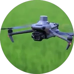
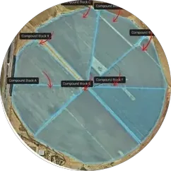
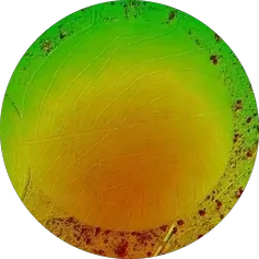
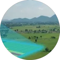
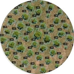
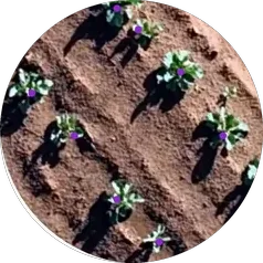
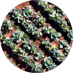
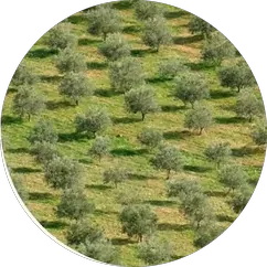
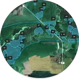
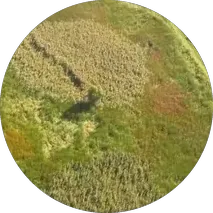
The crop-analysis work behind those deliverables, grouped four ways. Every one is a processing output we produce from drone or supplied flight data.
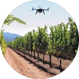
Certified pilots, current equipment, and the processing already included in the conversation.
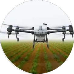
Precision drone spraying flown as a service — targeted application guided by crop health data, not guesswork.
Aerial survey and mapping missions for farms, mines and construction sites, delivered as processed data products.
Visual and thermal inspection of infrastructure and assets — powerlines, plants, roofs and equipment — without scaffolds or shutdowns.
ProagriView keeps every field under regular satellite observation — crop health, vigour and water stress delivered as simple maps and reports, with 12 months free on every spray drone purchase.
Explore ProagriViewTell us what you're trying to decide — we'll spec the flight, the processing and the deliverables around it.
Request details WhatsApp us