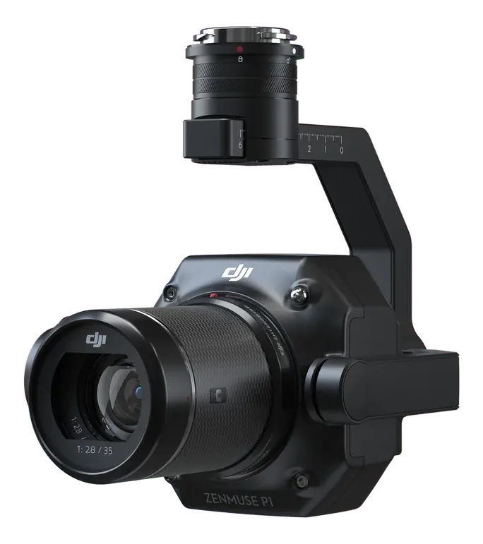
The Zenmuse P1 puts a 45 MP full-frame sensor with a global mechanical shutter on a 3-axis gimbal. It covers 3 km² in a single flight and delivers 3 cm accuracy without ground control points — the go-to payload for topographic mapping, cadastral survey and mine planning.
Specs from the official DJI Zenmuse P1 brochure. Full datasheet in the download. No prices online — every enquiry is a conversation.
Talk to us about the mission, the fleet plan and the paperwork. We supply, commission and support every unit we sell.
Request details Request company profile