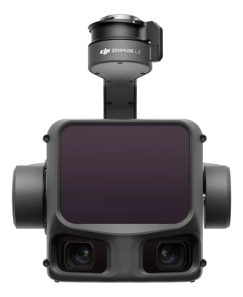
The Zenmuse L3 pairs a 1535 nm LiDAR with dual 100 MP RGB mapping cameras for coloured point clouds at survey-grade accuracy. Terrain models, mine stockpile volumetrics, powerline corridors — flown high, flown fast, delivered dense.
Specs from the official DJI Zenmuse L3 brochure. Full datasheet in the download. No prices online — every enquiry is a conversation.
Talk to us about the mission, the fleet plan and the paperwork. We supply, commission and support every unit we sell.
Request details Request company profile